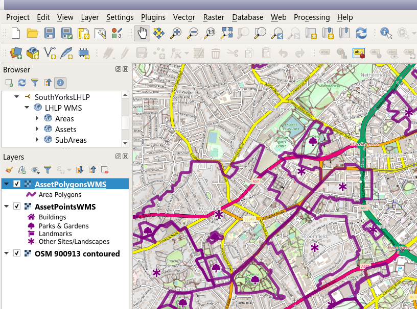
The Local Heritage List Platform API includes three specific web services, allowing organisations managing data on the Platform to access their Local Heritage List data remotely and "live", and to view and publish it in other applications.
The API publishes two OGC GIS services: a Web Mapping Service (WMS) and a Web Feature Service (WFS) (for each project).
Organisations that use the Local Heritage List Platform and wish to use these services should contact Idox/Exegesis directly and we will configure it to your specification. We can configure which asset types and statuses are available to your GIS applications, and, for the WMS, the symbology used. We can also enable security controls such as IP or Referrer based checks as well as HTTP Basic Authentication.
We will provide a URL that can be used in your chosen GIS client application. For the WMS service, an example of the URL might be:
https://local-heritage-list.org.uk/api/ogcservice/SouthYorksLHLP enabling something like this in QGIS (NB this won't work without additional information!):

There is also a non-GIS data API that can be used to import Asset records into other databases, and keep the records up to date. This is used to achieve integration between the LHLP and HBSMR. Organisations wishing to use this service should contact Exegesis directly for detailed documentation.
